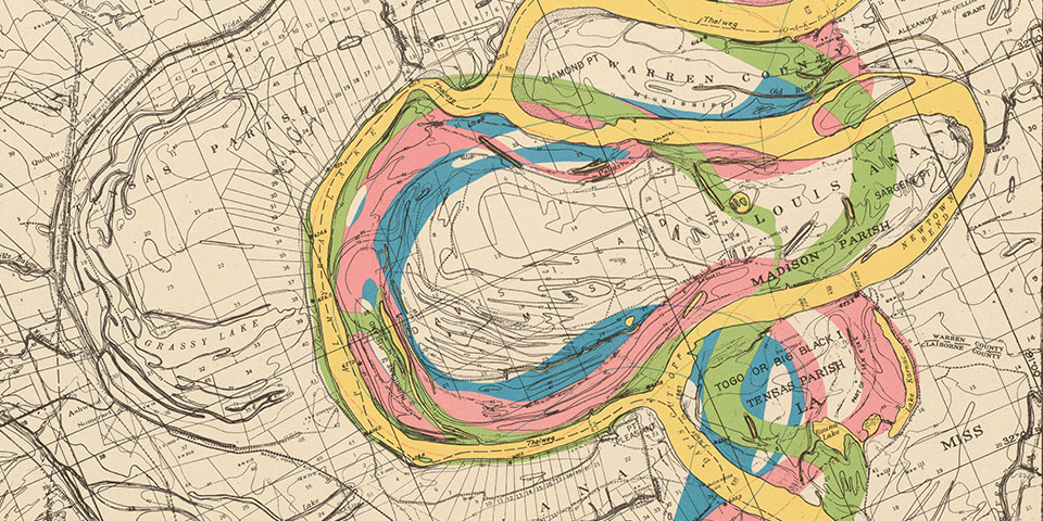
Milner Library's Map Collection includes approximately 200,000 printed maps and cartographic materials. The major emphasis is on Illinois and the Midwest, although the collection also includes maps of the world, individual countries and regions, as well as cities and counties.
Use of the materials is open to the general public as well as the Illinois State University community.
Fourth Floor Maps
- Topographical Maps for every state in the United States
- Illinois Maps
- Larger towns
- Smaller towns
- Counties
- Plat Books
- Historical Maps and Travel Guides
- Recreational Maps for hiking, biking, canoeing and camping
Government Information
These maps are located within the Fourth Floor Government Information shelves.
Book Shelves
Map materials may be located within the regular shelves as part of books and atlases.
Special Collections
Rare and historical maps may be located within the Special Collections and/or Archives.
Finding Maps
- Map Indexes: Many map sets have associated indexes, located with the actual maps.
- Book Catalog: Very selective coverage of some materials. Limit search to type "Map"
- Subject Databases: Some subject indexes include maps (i.e. Government indexes, geology indexes, etc).
- Online Map Resources
